|
Fierce Fronteriza
|
|

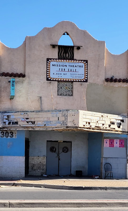
My father used to tell me about sneaking into this theater to watch movies as a kid in the 1910s. It showed Spanish language films. In the 1940s, it was transformed into a "whites only" theater but that didn't last long. By the 1950s, it was headquarters to the Mine, Mill, and Smelter Workers Union, a radical labor organization. Before it closed, it housed the Mine and Mill Bar.
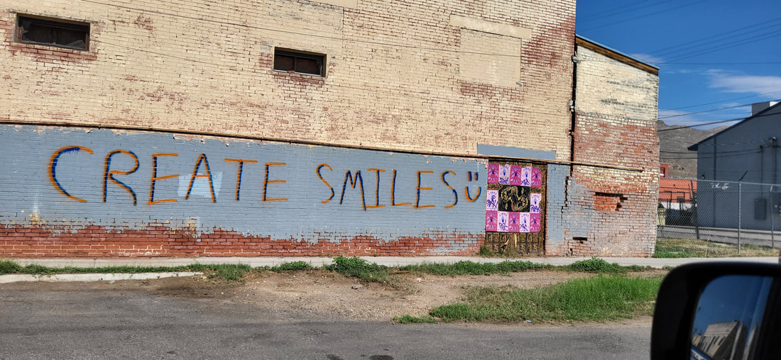
This message is painted on the east side of the old Mission movie theater.
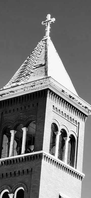
The bell tower of Guardian Angel Catholic Church, built in the 1910s to serve the growing Mexican immigrant community in what was then the "east side" of El Paso.
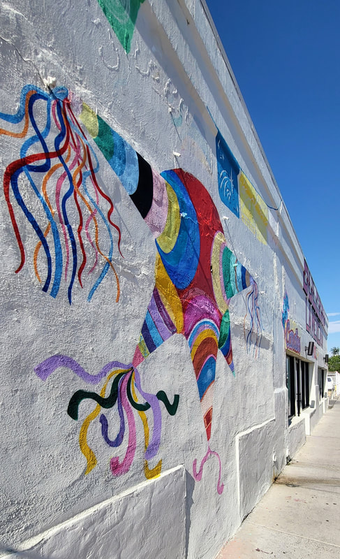
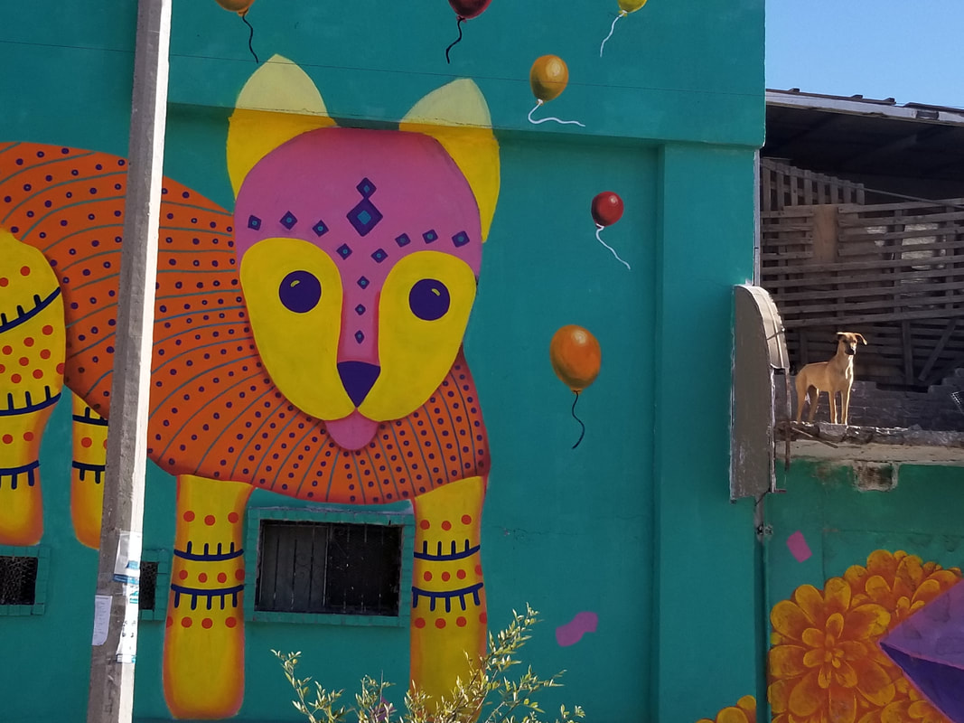
This pinata shop caught my attention as I was driving west on Alameda Street on my way to work.
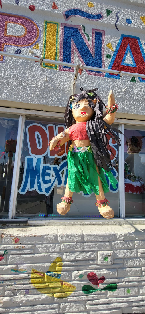
Hawaiian dancer, Alameda Street.
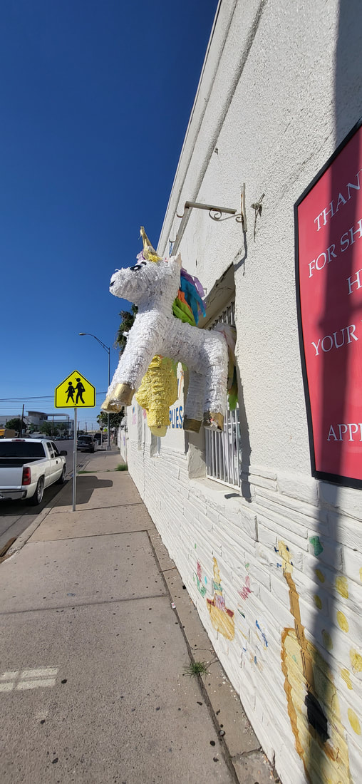
Unicorn pinata on Alameda Street.
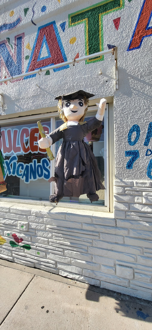
Proud graduate pinata.
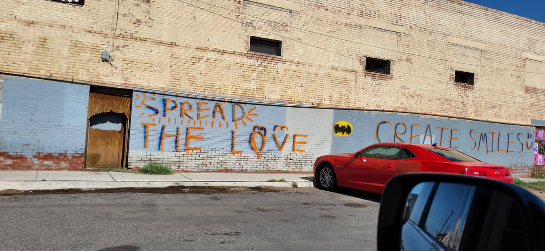
Love message on the east side exterior wall of the old Mission Theater.
Segundo Barrio
Father Rahm Street
July 2022
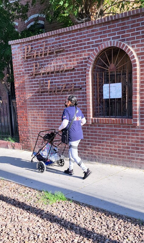
Looking into Padre Pinto Plaza, Sagrado Corazon Catholic Church.
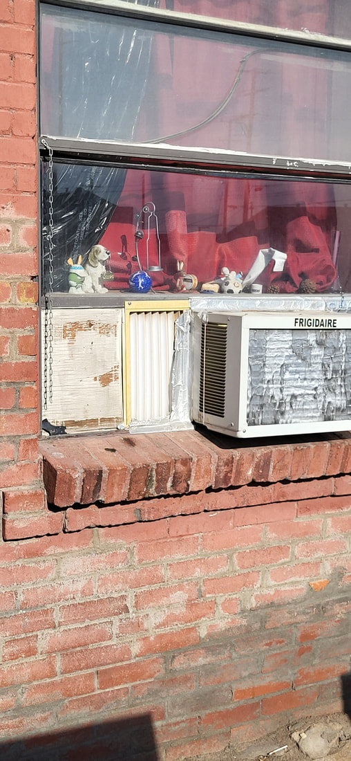
Treasures on the window sill.
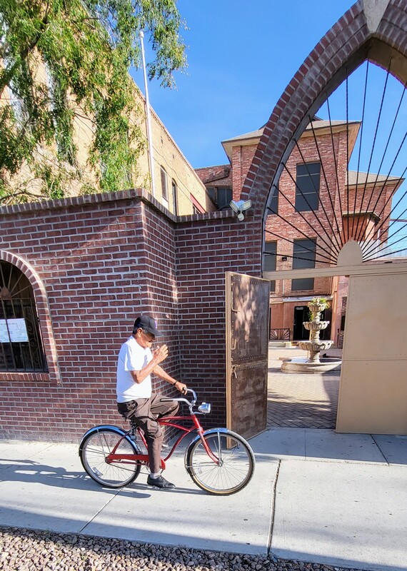
La bici
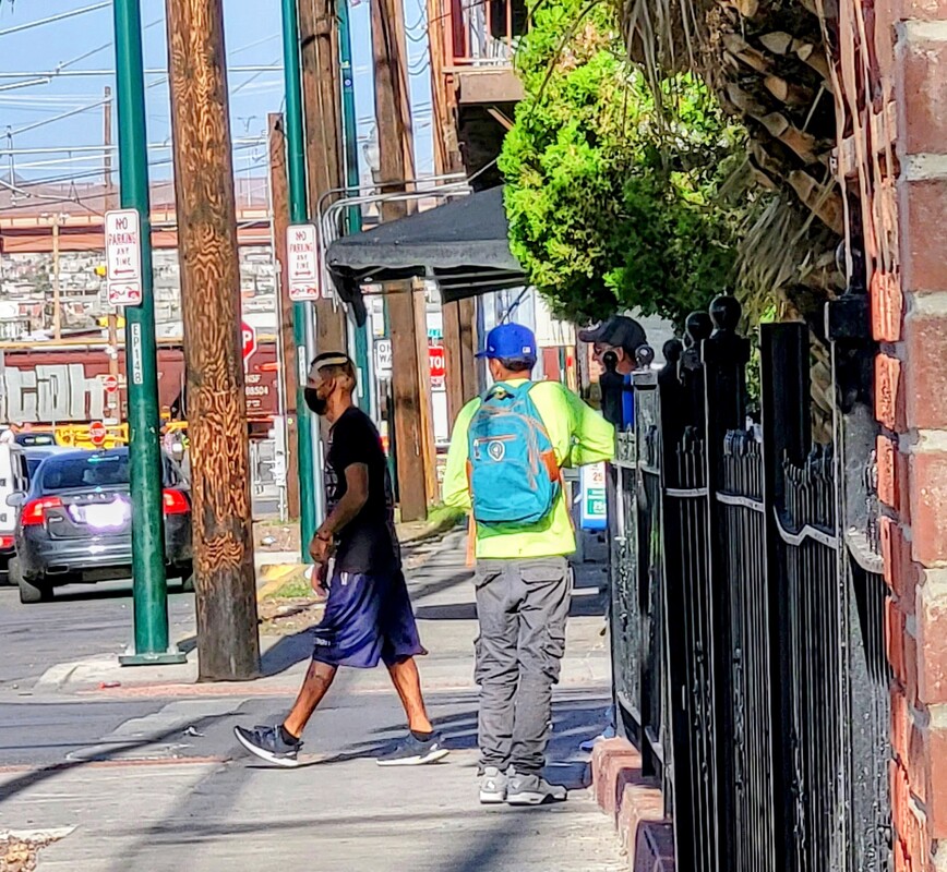
Tres vatos.
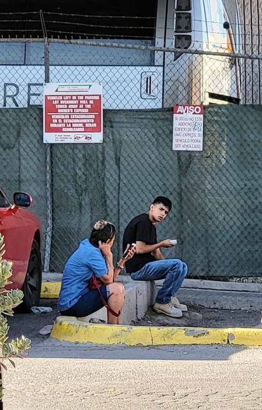
Esperando el bus.
Two generations.
La Virgensita en la frontera
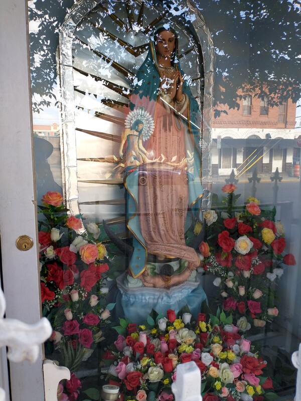
Woman reflected on la Virgencita, Segundo Barrio, 2021.
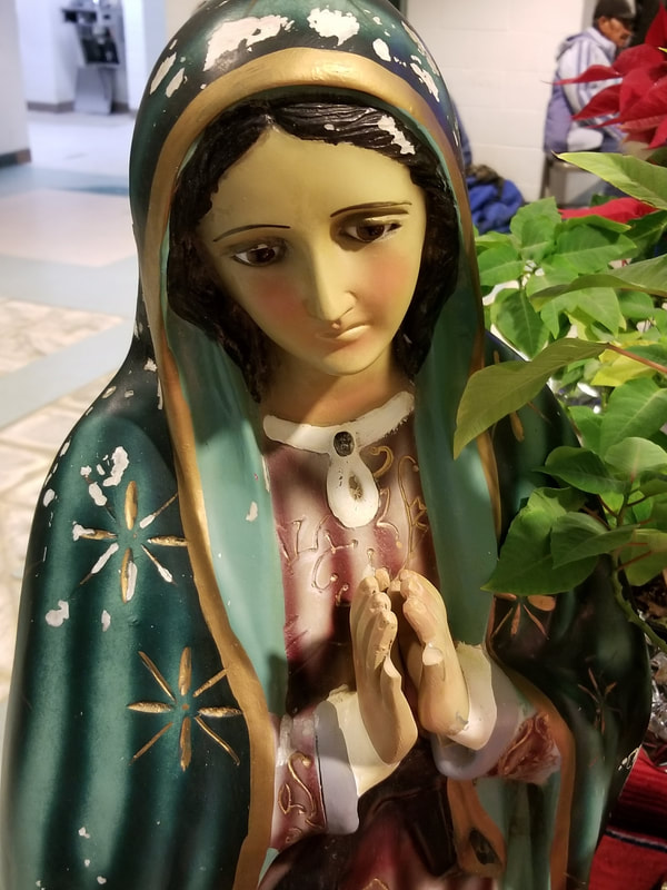
La Virgen de Guadalupe, 12 de diciembre 2017, Centro de Trabajadores Agricolas, El Paso
Protecting Barrio Duranguito 2019
Cd Juarez downtown
December 2017
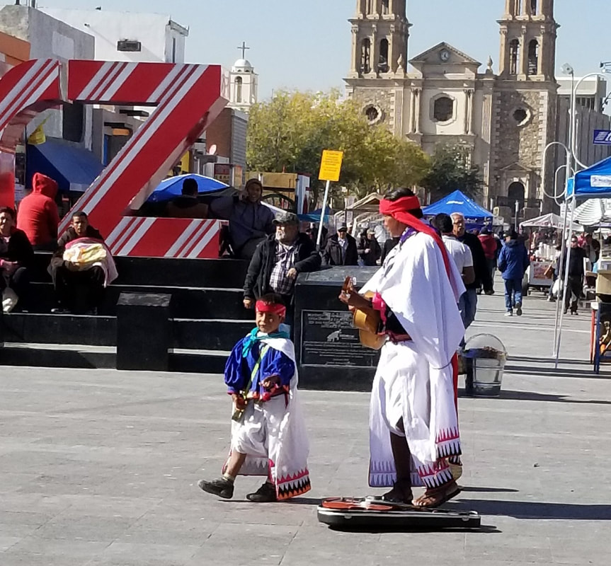
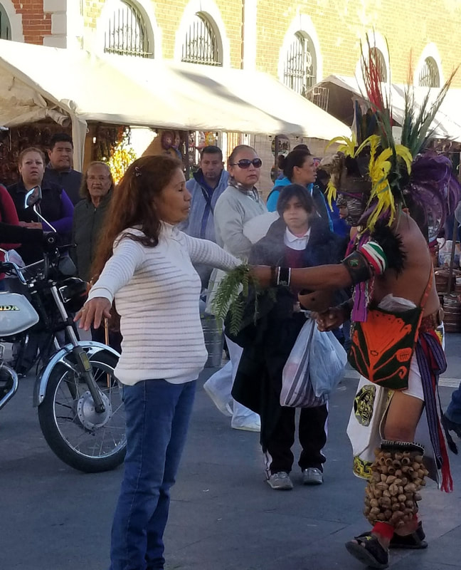
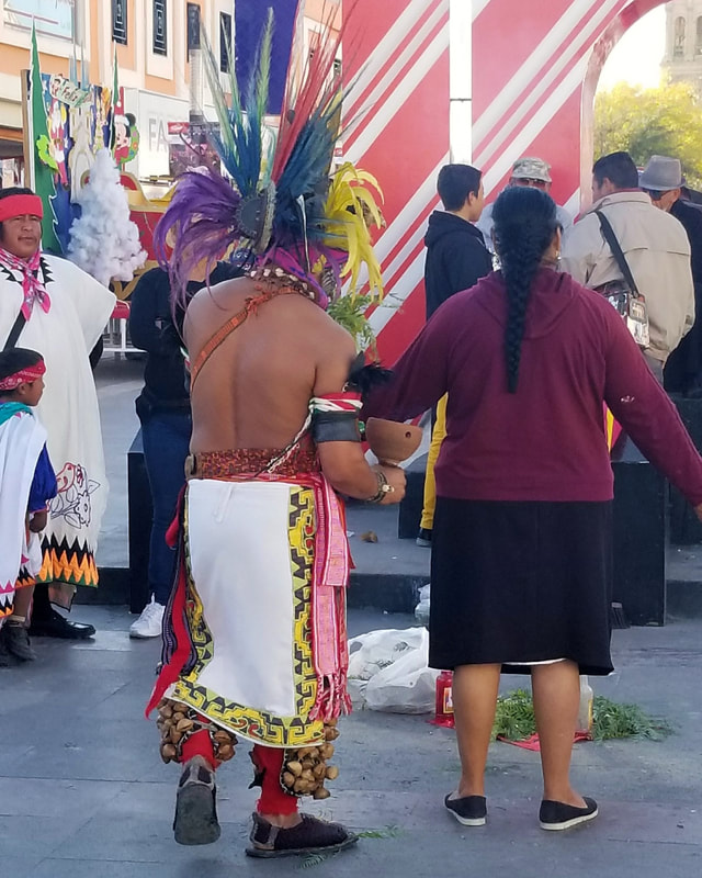
Raramuri father and son musicians, downtown Juarez, 2017.
The smell of copal, downtown Juarez, December 2017.
Ciudad Juarez limpia, downtown, December 2017.
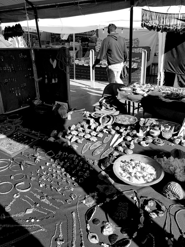
Selling at the mercado, downtown Juarez, December 2017
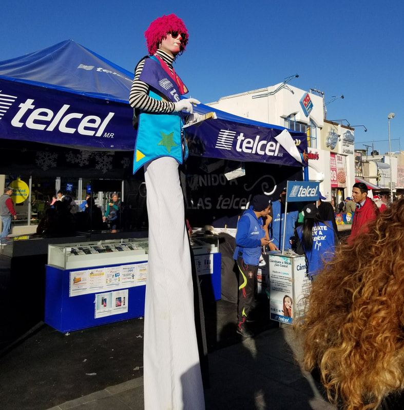
Telcel payaso, downtown Juarez, December 2017
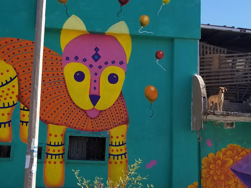
La Mariscal, Ciudad Juarez, 2017
Dos perros, La Mariscal, December 2017
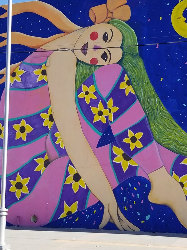
Mujer con cabello verde, La Mariscal, Juarez, December 2017.
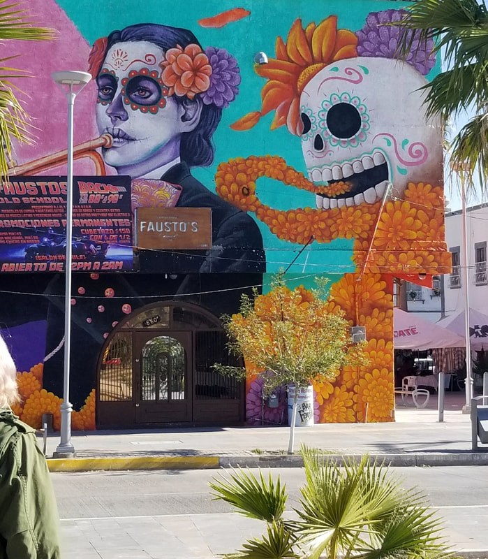
Beautiful death, La Mariscal, Ciudad Juarez, December 2017.
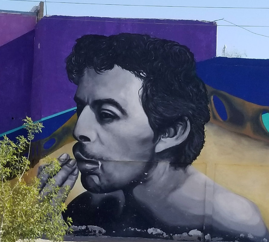
Tin Tan, La Mariscal, Ciudad Juarez, December 2017.
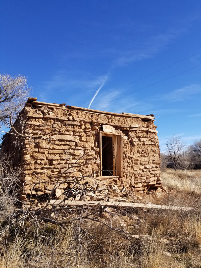
Montana Vista 2019
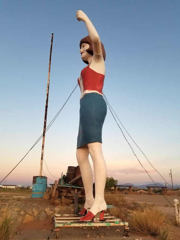
Red high heels in the desert 2019
El Centro July 2022
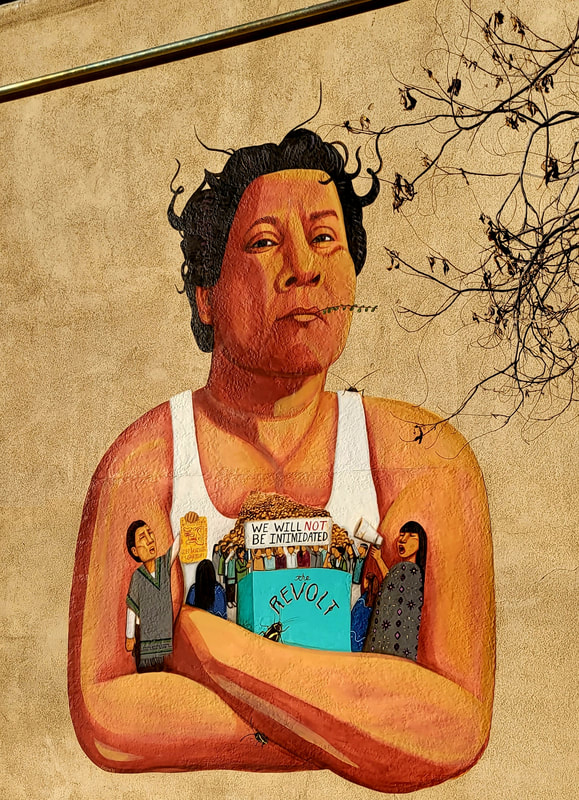
A tree reaches out to Oscar Zeta Acosta (mural by Lxs Dos), El Paso, Texas July 2022